
Lasers and Vancouver OpenData
A few days ago I attended a talk at the Vancouver HackSpace (VHS) on using Open Data and lasers to make interesting wooden maps.
The talk revolved around TileMill studio and how to style maps using a CSS variant then you could export them as SVG files (vector image). Once the image has been saved as a SVG file it can be imported in to InkScape, cleaned up and then saved as DFX file for the laser cuter.
These maps took about 2 hrs each to cut and look amazing. This is a map of all the Vancouver roads and parks.
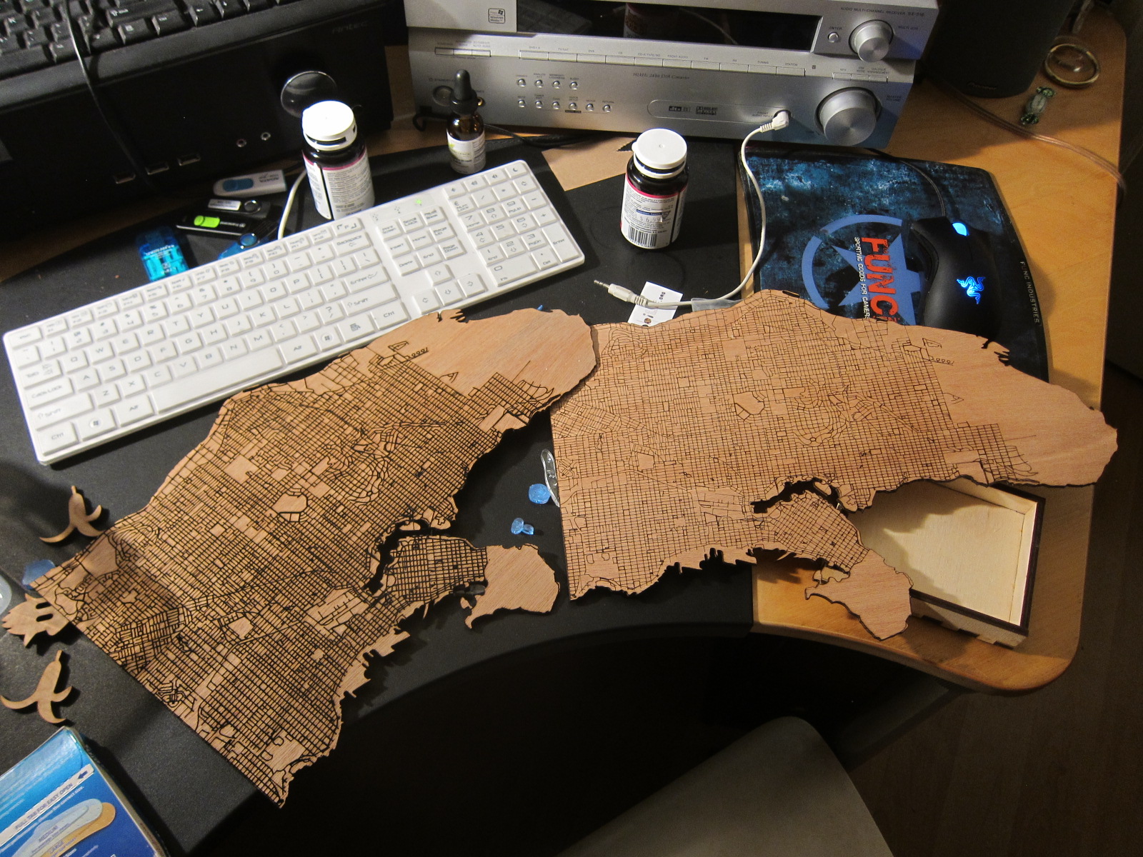

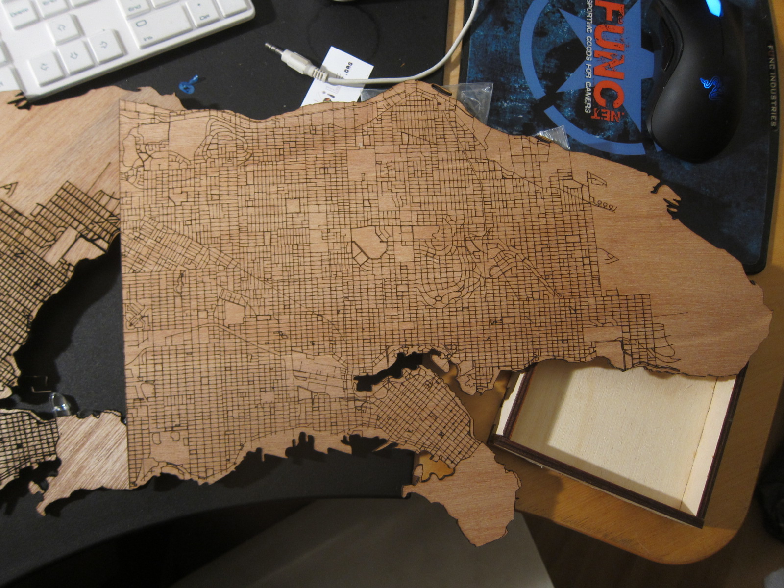
The problems with these maps is that I only used 1/16th inch wood. The wood bowed and twisted significantly. To flatten it out, I had to soak the map in water for an hour then stack books on top of it. Next time I think i will use thicker wood 1/8th or 1/4th
The maps are also very busy, with lots of lines. The next time I do this I will make a map with less lines. maybe just the parks or the bike lanes, ect..
Source files in GitHub: /funvill/VancouverOpenData
Leave a comment